The biggest site selection mistakes happen when teams chase pretty heat maps during early screening, not when they validate constraints in CAD or GIS. From our experience in the startup ecosystem, the fastest wins come from stacking real constraints early, for example substation proximity and interconnection queues, slope and cut fill limits, and wake loss or shading impacts. With renewable additions forecast to approach almost 940 GW per year by 2030, according to the International Energy Agency, the cost of picking the wrong site is rising fast, which makes platform choice a core decision. See the IEA's outlook on capacity additions and policy momentum for context on this trend, and why rigorous site workflows matter. (IEA Renewables 2024 executive summary)
Globally, the world added around 585 GW of renewable capacity in 2024, more than 90 percent of all new power expansion, which sharpens competition for viable land and interconnection. You will learn when to deploy each tool, how to avoid common modeling traps, and which workflows save weeks on feasibility and micro siting. (IRENA Renewable Capacity Statistics 2025, IEA Renewables 2024)
PVcase
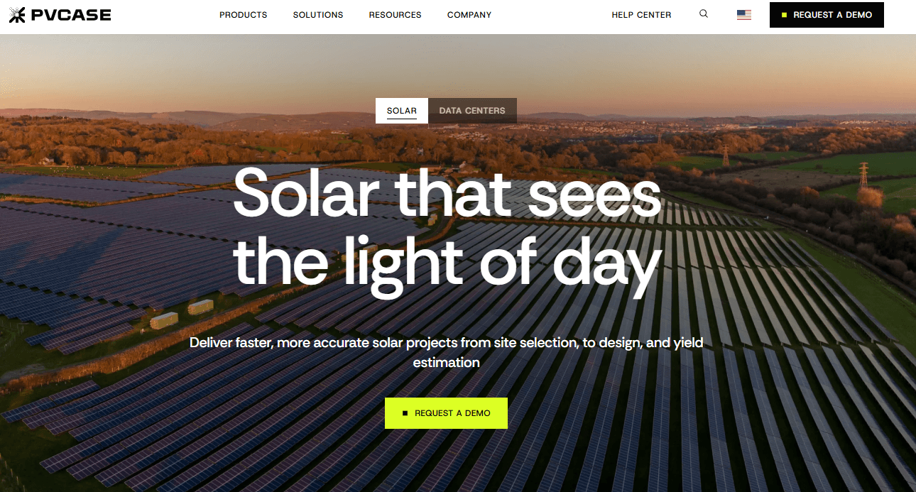
Cloud based site selection and CAD native solar design platform that accelerates utility scale PV engineering. Automates layout, grading, and stringing inside AutoCAD, with an integrated yield workflow.
Best for: Utility scale developers and EPCs that live in AutoCAD and need fast, constraint aware layouts plus early yield checks.
Key Features:
- AutoCAD integrated layout automation and terrain aware design, per PVcase documentation
- DC trenching and cable routing options with export to common modeling tools, per PVcase documentation
- Integrated site screening and grid data via Anderson Optimization integration, per PVcase documentation
- Yield modeling workflow with PVcase Yield or export to bankable simulators, per PVcase documentation
Why we like it: The Anderson Optimization acquisition brought grid and parcel screening into the same workflow as CAD design, which cuts handoffs and slashes time from weeks to minutes in reported cases. Third party reviews repeatedly highlight AutoCAD integration and faster terrain aware layouts, which translates to fewer change orders downstream. (pv magazine coverage of the AO deal and time savings, G2 reviews citing AutoCAD integration and speed, growth financing context that expanded siting capabilities)
Notable Limitations:
- Requires a compatible AutoCAD or Civil 3D environment, which adds license cost and setup complexity, and can be heavy on computing for large sites.
- Some cable trench routing steps may need manual correction on complex layouts.
- Learning curve for advanced features, and reviewers cite license cost sensitivity for small teams.
Pricing: Pricing not publicly available. Contact PVcase for a custom quote. If you procure through marketplaces or resellers, request total cost of ownership that includes required Autodesk seats, training time, and any yield module add ons.
WAsP
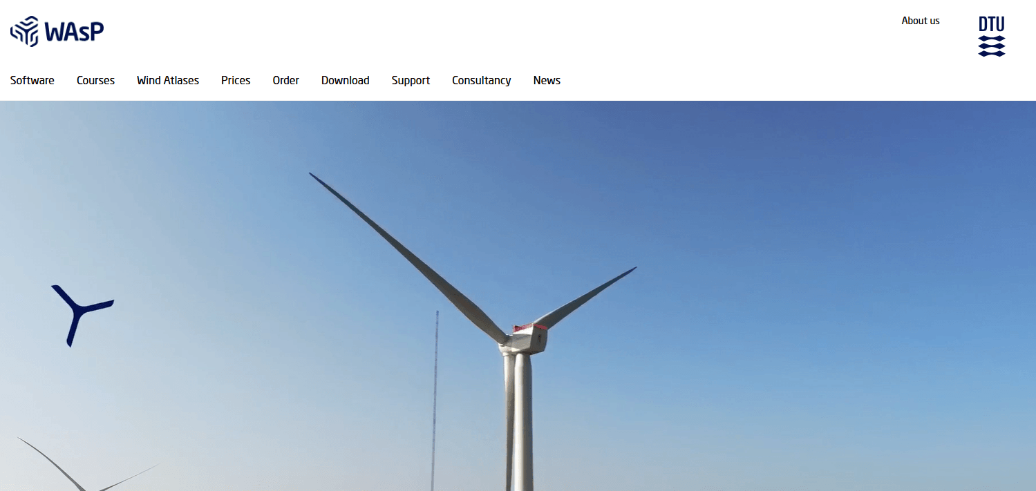
Desktop software suite for wind resource assessment, micro siting, wake loss modeling, and energy yield prediction. Longstanding industry standard in simple to moderately complex terrain.
Best for: Wind developers and consultants needing bankable AEP estimates and micro siting in terrain where linear flow models are appropriate.
Key Features:
- Wind climate modeling from mast or reanalysis inputs with terrain roughness and obstacle handling, per DTU documentation
- Micro siting and wake modeling for turbines and farms, per DTU documentation
- Energy yield and loss breakdown reporting to support investment grade studies, per DTU documentation
Why we like it: WAsP's methodology is well documented in the literature and widely used in case studies for siting and AEP estimation, which helps align consultants, lenders, and owners on assumptions. It also appears in World Bank and ESMAP guidance for mesoscale to microscale workflows, so it plugs into standard development playbooks. (MDPI case study noting WAsP as a generally accepted tool, ScienceDirect article describing WAsP as the standard tool, World Bank ESMAP guidance referencing WAsP in wind mapping)
Notable Limitations:
- Linear flow assumptions can underperform in very complex terrain or flow separation zones, where CFD might be preferable. (DiVA thesis summary of model limits)
- Requires quality long term wind measurements and careful roughness mapping to reduce bias, so data prep can dominate timelines.
Pricing: Official pricing is published by the developer, but vendor links are omitted in this guide. Contact DTU Wind Energy or an authorized reseller for a current quote, and ask about bundle options for WAsP, Engineering, and CFD credits.
Global Solar Atlas
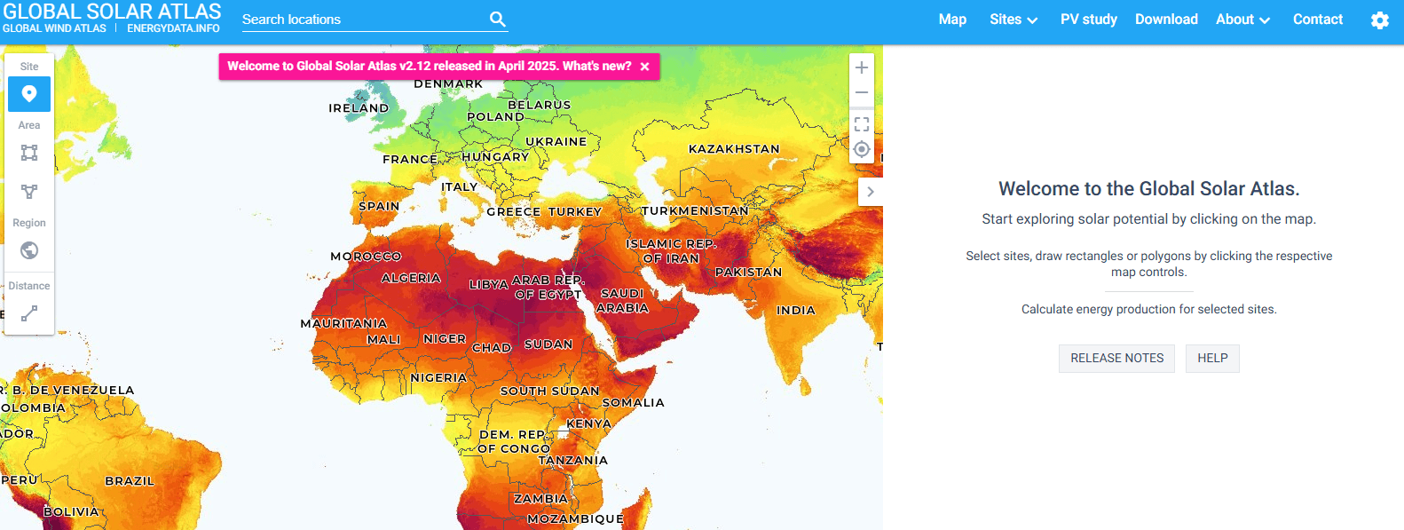
Free, web based solar resource and PV power potential atlas for preliminary site identification. Offers global layers, country factsheets, and quick downloads.
Best for: Early stage solar screening and education, especially in data scarce regions or multi country portfolio scouting.
Key Features:
- Global interactive maps of GHI, DNI, and PV power potential at about 1 km resolution, per World Bank technical report
- Country factsheets and downloadable data, per World Bank publications
- Simple point based estimates to rank sites before detailed engineering, per World Bank communications
Why we like it: It is free, global, and quick. Teams can narrow search areas and compare countries before committing to paid tools or field campaigns, which saves weeks. The World Bank notes the 1 km resolution and global coverage, and also explains where ground validation is still limited, an important caveat for risk teams. (World Bank press release describing the tool and 1 km resolution, Global Solar Atlas 2.0 technical report)
Notable Limitations:
- Not intended for micro siting or bankable yield, due to limited ground sensor validation in many regions.
- Gridded data can miss local shading and land use constraints, so it should be paired with detailed GIS and engineering tools.
Pricing: Free to access and use for screening. The World Bank confirms the Atlas is available at no cost and supports downloads for analysis. (World Bank energy blog overview)
Energy Site Selection Platforms Comparison: Quick Overview
| Tool | Best For | Pricing Model | Highlights |
|---|---|---|---|
| PVcase | Utility scale PV engineering teams in AutoCAD | Subscription, pricing not publicly available, no free option | CAD native automation, integrated siting via AO, yield workflow |
| WAsP | Wind developers and consultants modeling AEP | License purchase and renewals via developer or resellers, no free option | Widely referenced linear flow model for siting and yield |
| Global Solar Atlas | Early stage solar screening across countries | Free web app | Global GHI, DNI, PVOUT at about 1 km with downloads |
Energy Site Selection Platform Comparison: Key Features at a Glance
| Tool | Feature 1 | Feature 2 | Feature 3 |
|---|---|---|---|
| PVcase | AutoCAD integrated layout automation | Terrain aware grading and stringing | Grid and parcel screening via AO import |
| WAsP | Wind climate and flow modeling | Micro siting and wake losses | Bankable AEP reporting |
| Global Solar Atlas | Global GHI, DNI, PVOUT layers | 1 km resolution maps | Country factsheets and data downloads |
Energy Site Selection Deployment Options
| Tool | Cloud API | On-Premise or Desktop | Integration Complexity |
|---|---|---|---|
| PVcase | Cloud components for siting and data, CAD plugin workflow | Desktop plugin for Autodesk | Moderate if your stack already uses AutoCAD |
| WAsP | None documented in third party sources | Windows desktop application | Low to moderate, relies on standard GIS and mast data inputs |
| Global Solar Atlas | Web application, data downloads | No | Low, export data and ingest to GIS or modeling tools |
Energy Site Selection Strategic Decision Framework
| Critical Question | Why It Matters | What to Evaluate | Red Flags |
|---|---|---|---|
| Do we need bankable yield now or only screening? | Determines model depth and data needs | Linear models vs CFD for wind, PV gridded atlas vs detailed shading and terrain | Using atlas outputs as bankable numbers |
| How constrained is the grid near target land? | Interconnection drives timelines and capex | Substation proximity, queue status, voltage class, upgrade risks | Siting that ignores grid constraints until late stage |
| What CAD or GIS backbone does the team use? | Tool fit reduces rework and export issues | AutoCAD plugin fit, GIS data formats, PVSyst exports | Manual redrawing between tools |
| How complex is the terrain and wake or shading environment? | Model suitability and accuracy | Terrain complexity index, wake losses, slope and cut fill | Linear models in flow separation zones, missing shading detail |
Energy Site Selection Solutions Comparison: Pricing and Capabilities Overview
| Organization Size | Recommended Setup | Monthly Cost | Annual Investment |
|---|---|---|---|
| Small developer or advisor | Global Solar Atlas for screening, contract a WAsP study as needed | Varies by consultant | Varies, pricing not publicly available |
| Mid market IPP or EPC | PVcase for CAD automation plus Atlas for macro screening, wind teams add WAsP | Varies by seats and region | Varies, request quote from vendors or resellers |
| Enterprise portfolio builder | PVcase with siting integration, internal WAsP workflows, standardized data governance | Varies by enterprise agreement | Varies, multi year agreements common |
Problems & Solutions
Problem: Early solar screening across multiple countries lacks consistent data, so teams burn time assembling scattered layers.
Solution: Use a global atlas to compare sites quickly, then move the short list into detailed tools. The World Bank's atlas provides free global layers at about 1 km resolution with country factsheets and downloads that reduce initial data wrangling, with the caveat that it is not for micro siting.
Problem: Solar engineering teams lose weeks redrawing layouts when terrain and constraints change late in development.
Solution: A CAD native platform lets engineers iterate inside their drafting environment. Peer reviews highlight PVcase's AutoCAD integration, faster terrain aware layout generation, and streamlined exports to yield tools, which accelerates revisions and reduces coordination churn. The AO acquisition added siting and grid context upstream, with reports of time savings from weeks to minutes in some workflows.
Problem: Wind projects in simple to moderately complex terrain need bankable AEP and micro siting without spinning up full CFD.
Solution: A linear flow based suite, widely cited in academia and development guidance, provides wind climate modeling, micro siting, wake loss, and yield reporting that fit lender expectations when applied to suitable terrain. Literature also flags limits in highly complex flow, which helps teams decide when to step up to CFD.
Bottom Line
With record renewable additions and more grid constraints every quarter, teams gain the most by pairing fast, global screening with bankable engineering and yield tools. Start with a free atlas to rank regions, then shift short listed sites into platforms that reflect your core workflow - PV engineering in AutoCAD or wind micro siting with established linear models. Keep model suitability in focus: linear wind models degrade in highly complex flow, and gridded solar atlases are not bankable without ground truth. For planning context and growth trajectories that make these choices urgent, see the IEA's outlook and IRENA's capacity statistics.